Road monitoring and road scanning made by connected vehicles
The Right Measures, At The Right Time.

What happens when you take some of the world’s most advanced vehicle friction and roughness measurement solutions and apply them to road maintenance? The answer is that you open up a whole new world of possibilities.
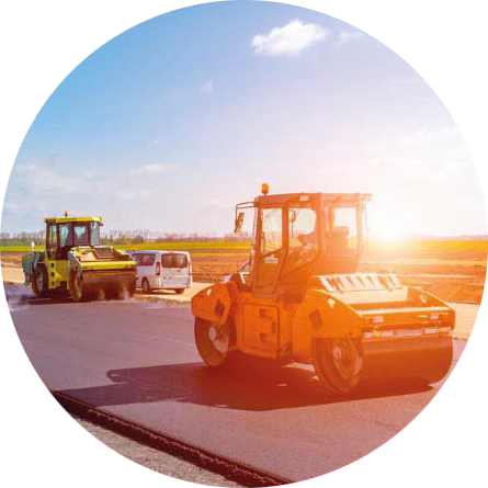
At NIRA, we have always focused on solving real-world problems. One of them is to enable better and more efficient winter maintenance measures, to optimize resource utilization and reduce environmental impact. With a strong foundation in software-based road surface monitoring solutions, we can do just that.
In the end, efficient road maintenance comes down to data, and at NIRA we have developed an automotive software component capable of measuring, amongst other data, the friction of the road surface. Since 2020, a vehicle fleet of close to two million cars have been equipped with the software – collecting real-time road data as we speak.
Now, by fusing and aggregating this data – which is anonymized, of course – we can provide both road stakeholders and the automotive industry with location intelligence and valuable insights. For instance, by combining road friction, road roughness and pothole data with surface temperature and precipitation data, we’re able to create a set of map layers describing the road surface conditions in detail – providing a comprehensive and accurate picture of an entire road network.
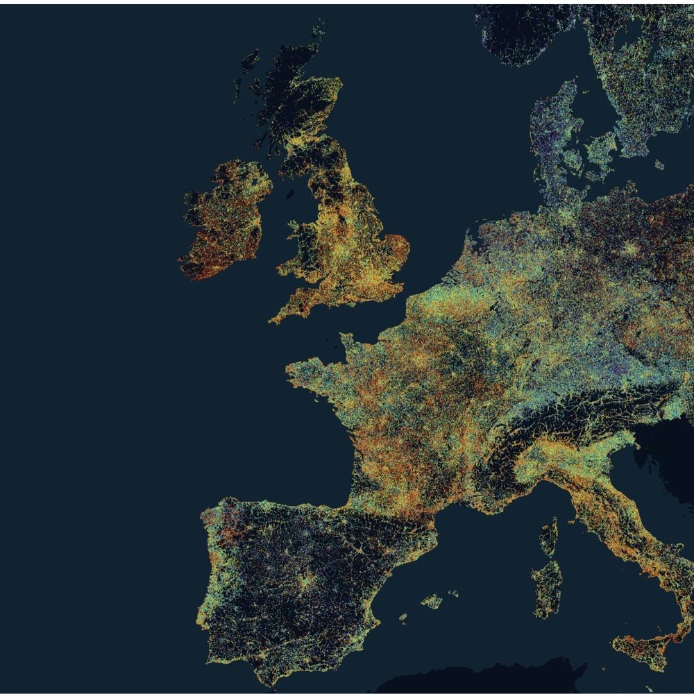
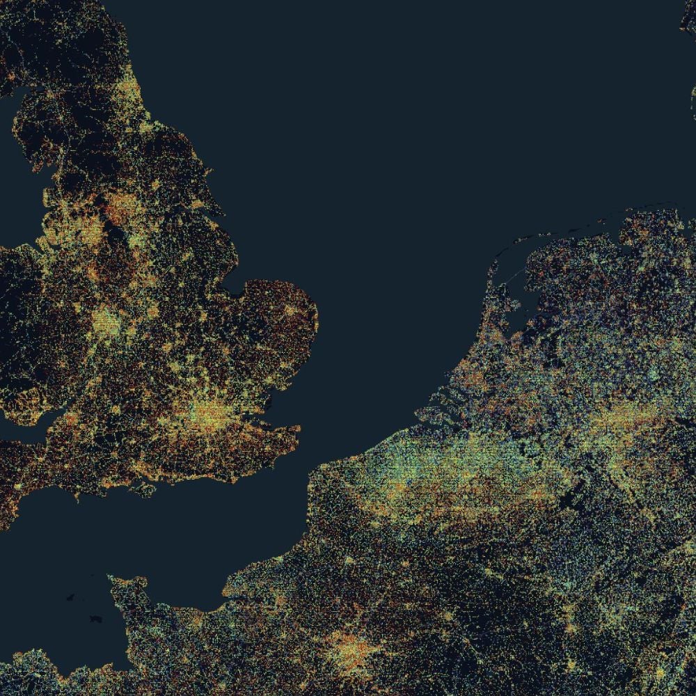
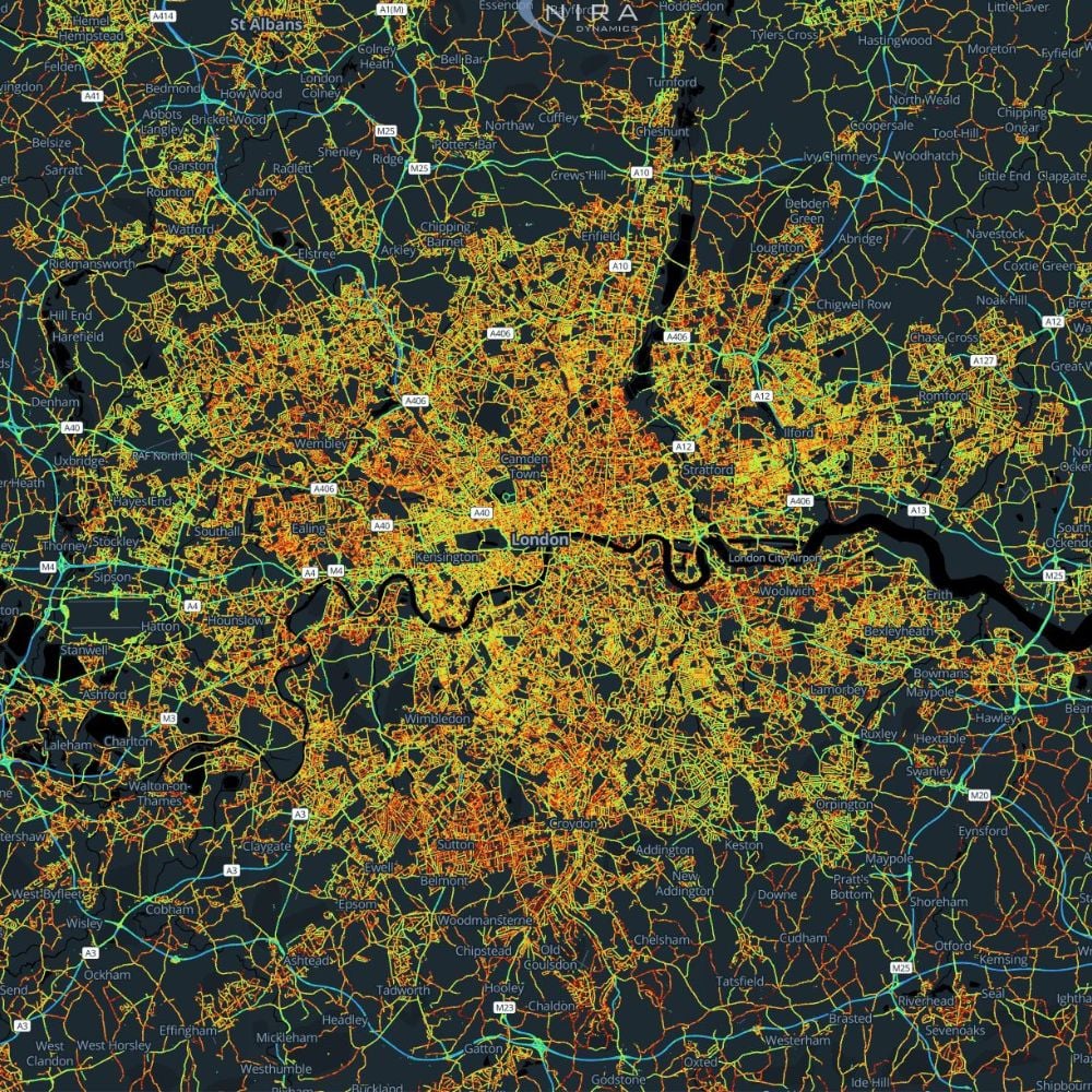
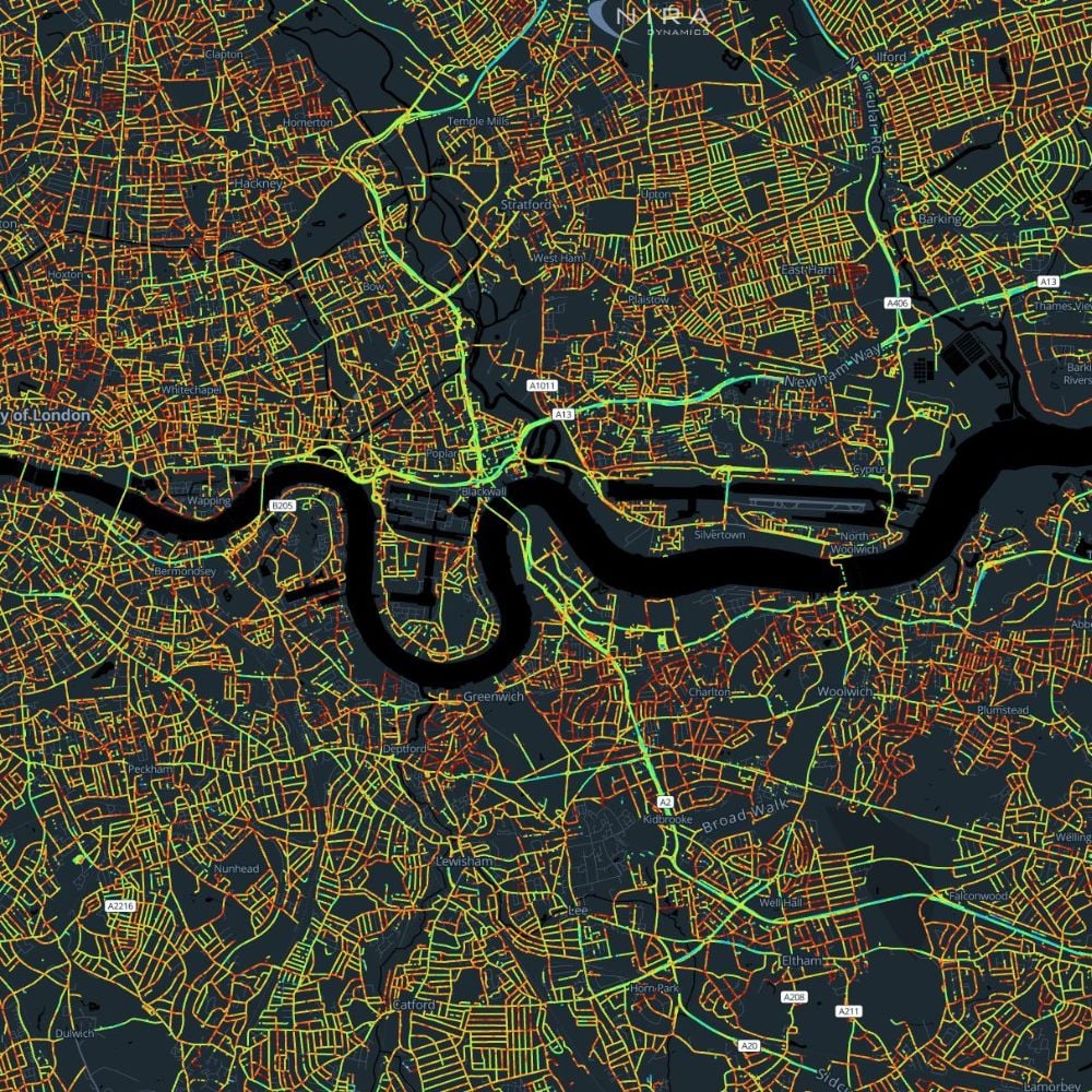
An automated and objective system for daily operations and long term planning through connected vehicle data.
From insights to action - we are revolutionizing road monitoring and road scanning
Road monitoring focuses on the ongoing observation and analysis of road conditions to support long-term infrastructure management. By integrating real-time data into your systems or using our Road Insights platform, you gain a comprehensive overview of your network's health, enabling data-driven strategies to improve road safety and longevity. This is achieved without deploying extra measurement vehicles or relying on manual methods—data is collected seamlessly as vehicles travel on the roads.
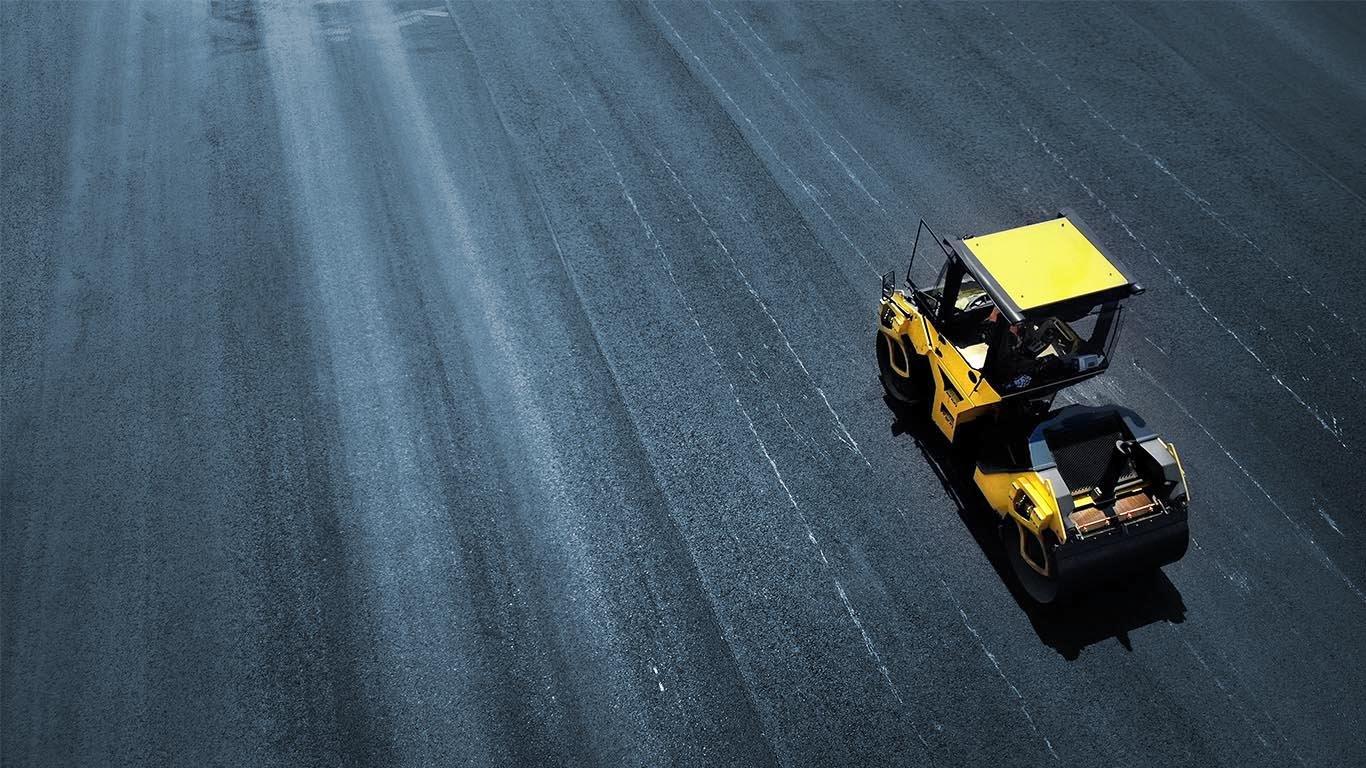
Road scanning is the method of collecting precise, localized data on road wear, damage, and irregularities. Utilizing the existing sensors in connected vehicles, our solution identifies specific maintenance needs, providing actionable insights for targeted repairs. This innovative approach eliminates the need for additional equipment or dedicated scanning vehicles, as the data is gathered automatically from vehicles already in operation, ensuring roads remain in optimal condition.
Road Health
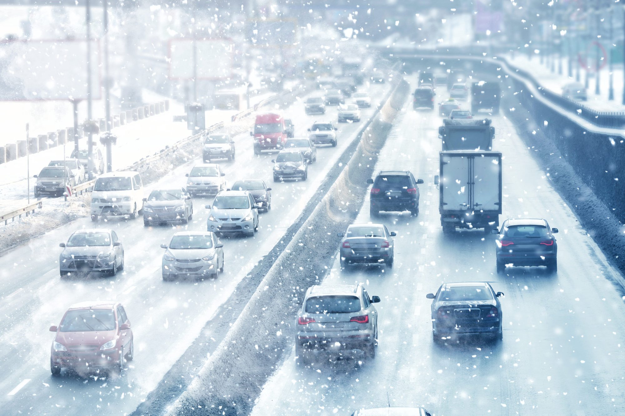
Winter Road Insights
How to Access NIRA’s Data
Custom Analytics: through our pavement engineering experts
Via API Integration: Seamlessly integrate our data into your own systems using our robust APIs. Get the insights you need, where you need them.
Through Road Insights: Access our user-friendly tool, Road Insights, designed to provide actionable insights and simplify road maintenance planning.
With Our Partners' Pavement Management Systems: Utilize our data through some of the best pavement management solutions on the market, provided by our trusted partners.
Forecasting of road conditions
As a contractor, you already know about Road Weather Information Systems (RWIS), and they have surely helped you plan your measures in the past. And they will not alert you to the ice patches on that particular shadowy stretch behind the trees, either. RSI by NIRA can bridge the gap between the RWIS stations. And by adding windshield wiper data and ambient temperature, you get a much better image of the status of the road. By combining and assessing data from connected vehicles with a multitude of reliable sources, such as RWIS, radar, satellite images and weather prognoses you not only get a complete picture of the current road status. We partner with providers of Maintenance Decision Support Systems, so that all the data can be available in the tool that you as a contractor is using right now. You can get accurate prognoses of future road surface conditions – invaluable whenever you’re planning measures ahead of time.
